


8.4 km | 12.3 km-effort
![Trail La Pesse - [Itinéraire] Tourbières et lac des Hautes-Combes - Photo](https://media.geolcdn.com/t/1900/400/ext.pjpeg?maxdim=2&url=https%3A%2F%2Fsecurestorage.geolives.com%2Fsitytour%2Ftrail-bg%2Fdefault.jpg)

User


FREE GPS app for hiking
 SityTrail
IGN / Geographical institutes
SityTrail World
The world is yours!
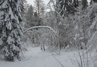
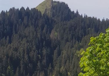
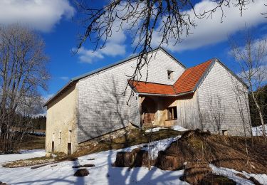
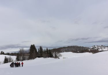
Trail of 33 km to be discovered at Bourgogne-Franche-Comté, Jura, La Pesse. This trail is proposed by jeanlalune.
Un véritable voyage au cœur de l’eau… Admirez les paysages sauvages et préservés en pédalant au milieu des grandes étendues dominées par des crêts. Découvrez le Lac de L'Embouteilleux, situé à plus de 1 100 mètres d'altitude, véritable joyau du Haut-Jura. Modifié: 13 semaines
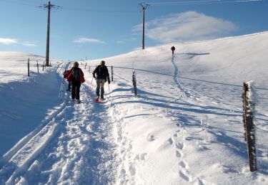
Snowshoes
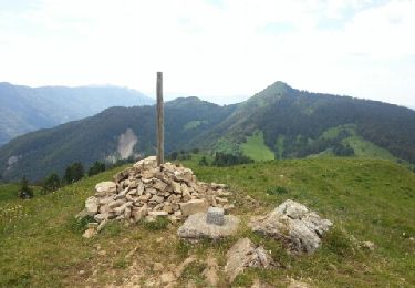
Walking

Walking
Walking
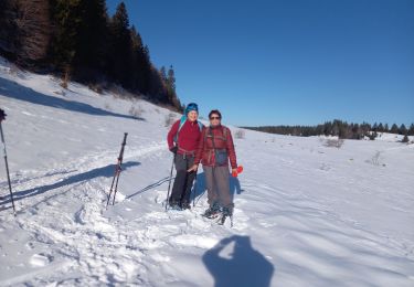
Snowshoes
Snowshoes
Walking
Walking
Snowshoes